Maps and Trails
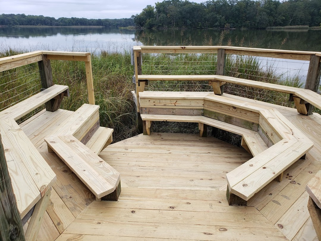
Newly improved overlook of the Rhode River on the Java History Trail. Photo: Karen McDonald/SERC
SERC has five main hiking trails: the Fox Creek Nature Trail, the Discovery Trail, the Contee Farm Trail network, and the Woodlawn History Trail. They each range from 1 to 2.5 miles long. During the pandemic, we've made some improvements to our trails. Download or print out the maps below to see where you can hike.
Know before you go! Plan your visit
Trails
Fox Creek Nature Trail (1.3 miles, loop)
Travel through time and discover how Native Americans, farmers, and scientists have used the land through the centuries. This trail starts at the Reed Education Center and takes a loop through the forest. Follow the blue trail blazes on the trees.
Discovery Trail (1.3 miles round trip, no loop)
Stroll along the waters of the Rhode River and Muddy Creek and enjoy the quiet beauty of the marshes. To access the Discovery Trail, start at the Reed Education Center and follow the waterfront section of the Fox Creek Nature Trail for about 1/4 mile until you pass a boardwalk. Go left at the fork after the boardwalk. Follow the pink trail blazes on the trees.
Contee Watershed Trail (1.6 miles, loop)
Start at the Contee Mansion Ruins and take in a scenic overlook of the Rhode River. From there, the trail dives into the forest and alongside a stream, with additional overlooks of the woods along the way.
Squirrel Neck Loop (1.0 miles, loop)
The trailhead starts just beyond the Contee Mansion Ruins, forming a mile-long loop through the forest. The trail runs parallel to the Contee Watershed Trail for about 1/4 mile.